Exporting Data and Results
The various results of the ELCOVISION 10 computations can be exported in many ways for further processing in other programmes.
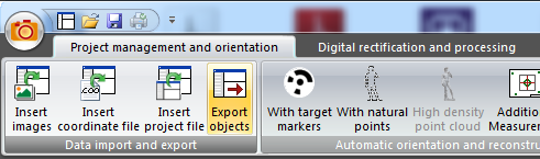
Export using the export wizard of ELCOVISION 10
Here you can export image measurements, orientations, GPS data, object points and point clouds in different formats:
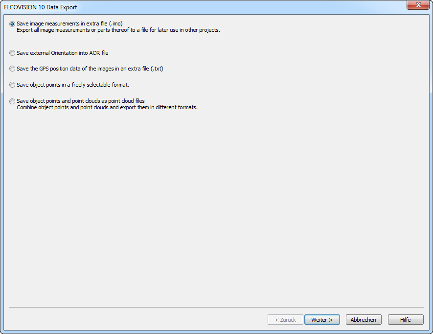
Export image measurements
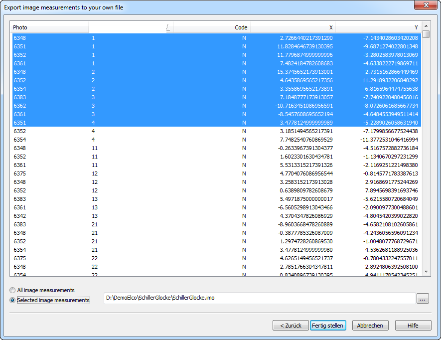
Here you can save image measurements, especially the image measurements that you have measured manually for control points or as reference lines, so that they can be reused later. The image measurements are saved in the ELCOVISION 10 IMO format.
Export Image Orientations
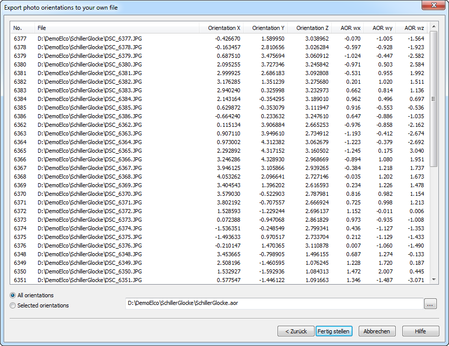
For use in other programmes, the viewpoints and rotation angles of the images can be exported in ELCOVISION 10 AOR format.
Export of the GPS position data of the images
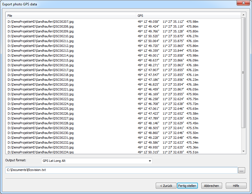
This is mainly useful for documentation purposes. The GPS data can be stored as spherical coordinates or as UTMS, UTMS-Ref or ELCOVISION coo coordinates.
Export of the Object Points
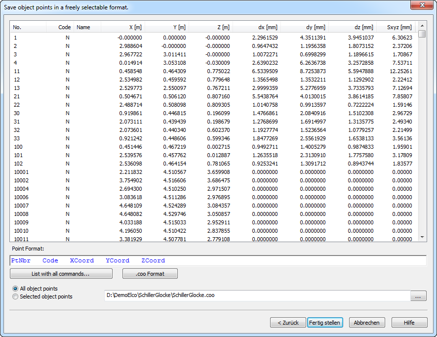
Object Points are points that were created during the automatic orientation or during manual image measurements. Often these points are needed for precise evaluations. The export format can be freely set.
Export Point Clouds
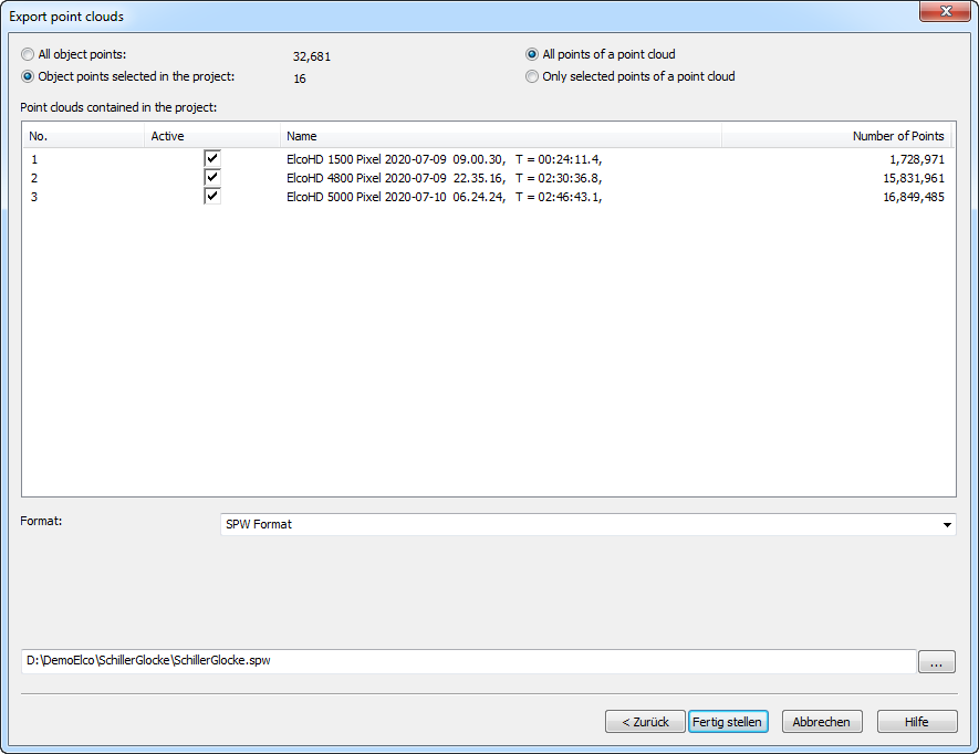
Object Points and Point Clouds can be exported in various formats for evaluation in other programmes. All points or only points previously selected in the project manager can be exported.
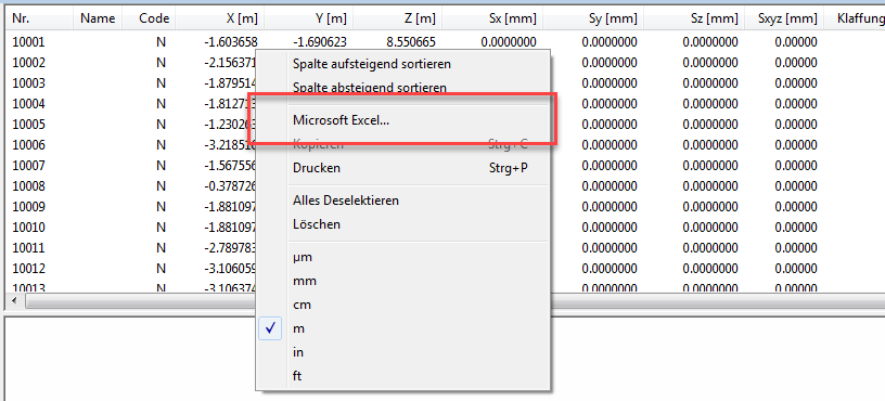
Exporting ELCOVISION 10 lists to Excel
All lists like object point lists, photo lists etc. can be exported directly to Excel: Select [Microsoft Excel...] in the context menu:
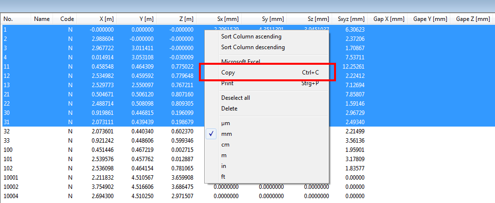
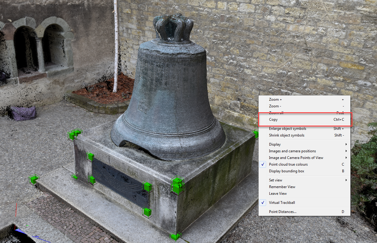
Copying Data to the Clipboard
Images of the 3D views and selected lines of lists can be copied to the clipboard by pressing [Ctrl] C or via the context menu:
Point Clouds as Image
Selected Lines in Lists as Text